![]()
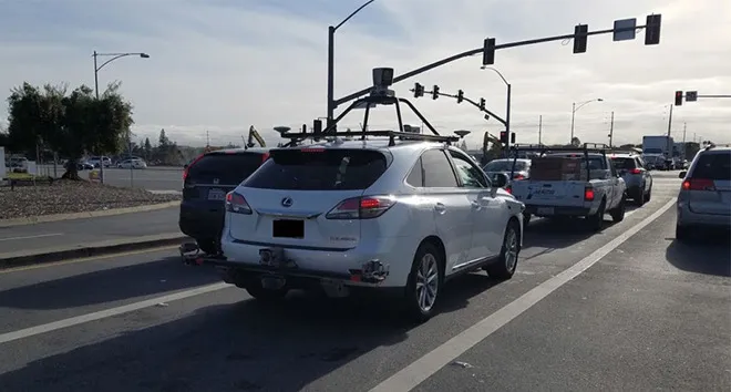
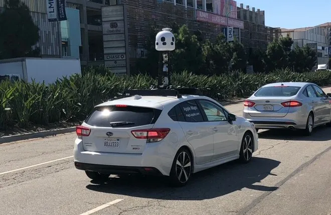
Apple is rolling out transit directions in Apple Maps for Singapore. That means you are able to route yourself from one place to another place in Singapore using a mix of walking and public transport. Singapore is known to have a really connected city with a combination of their MRT (Mass Rapid Transit) and bus networks, you really don’t have to own a car to get around there. Not that it is affordable but Singapore is also known to be one of the most expensive cities to own a car.
The inclusion of transit directions as well as increasing additions of points of interests in Singapore is all done before the first official opening of the Apple store in Singapore. Whilst Singapore may have more iOS users, Malaysians rely a lot more on Google Maps and Waze instead.
Having transit information means that users are able to get directions such as which MRT station to take as well as to exit. The app also comes with local signages according to a report by the Strait Times. Having these local signages carefully recreates the same MRT branding which Singaporeans are familiar with.
According to the Strait Times, the Apple Maps team in California travelled to Singapore specifically just to obtain the two fonts needed for the exact imagery.